
Understanding agricultural terrain
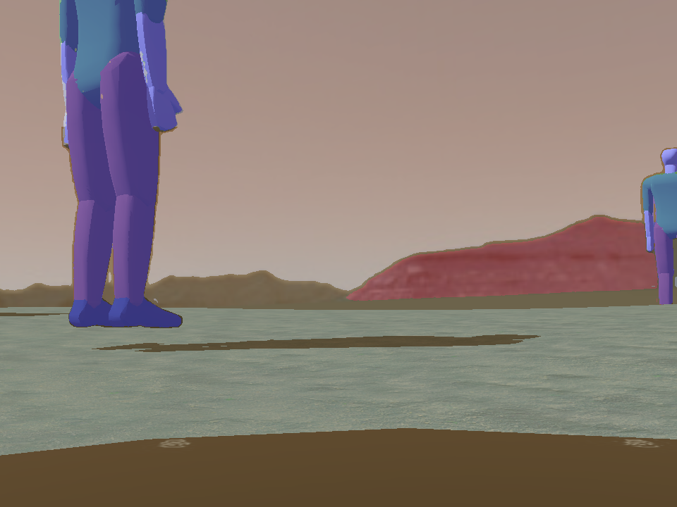
This NATERIDA project trains a U-Net to classify agricultural scenes into soil, vegetation, obstacles, pedestrians, and sky.
Images are collected in Webots and labeled automatically using GroundingDINO and the Segment Anything Model (SAM). The repository includes data collection, labeling, training, and a real-time segmentation controller.
Contributors
- Prashanna Tiwari